No matter the industry, the question is always there: How can we be more efficient at what we do for both our clients and ourselves?
One of the exciting technological tools we use here at Inherent Commercial throughout the process from bidding to project completion is DroneDeploy. Utilizing both Drone mapping and Drone captures along with ground based 360 Degree photos we can truly create a visual history of a project that can be used in real time and in memorandum.
Applications:
Tenant Improvement Pre-Bid Needs
Especially on Tenant Improvement projects, we can download the floorplan and then using the app and an Insta360 camera we can capture 360 Degree photos of the existing space. We can then use these as a reference when putting together our proposal, share the photos with our subcontractor base and our clients to make as informed a bid as possible. There are times when hosting a walkthrough for our subcontractor base just isn’t possible or they just can’t make it. With DroneDeploy that problem is solved.

Interior and Exterior Progress Walks
Once we are awarded a project, we can keep a visual record of the construction process and this automatically transfers to our Procore project management system as well. Documentation enables us to easily share these digital walkthroughs with out-of-state owners, investors, project partners and other stakeholders. For example: there’s a question about how the interior of a wall was blocked, yet drywall has already been applied. We can just go back in time with the photos at the rough-in stage without having to open up the wall. Easy solution.
We are also able to share with the architects , engineers and other project partners here locally how specific elements were installed to confirm proper execution.
And in real time, our Project Managers and Superintendents can utilize the photos to walk through items with our subcontractors that we see.
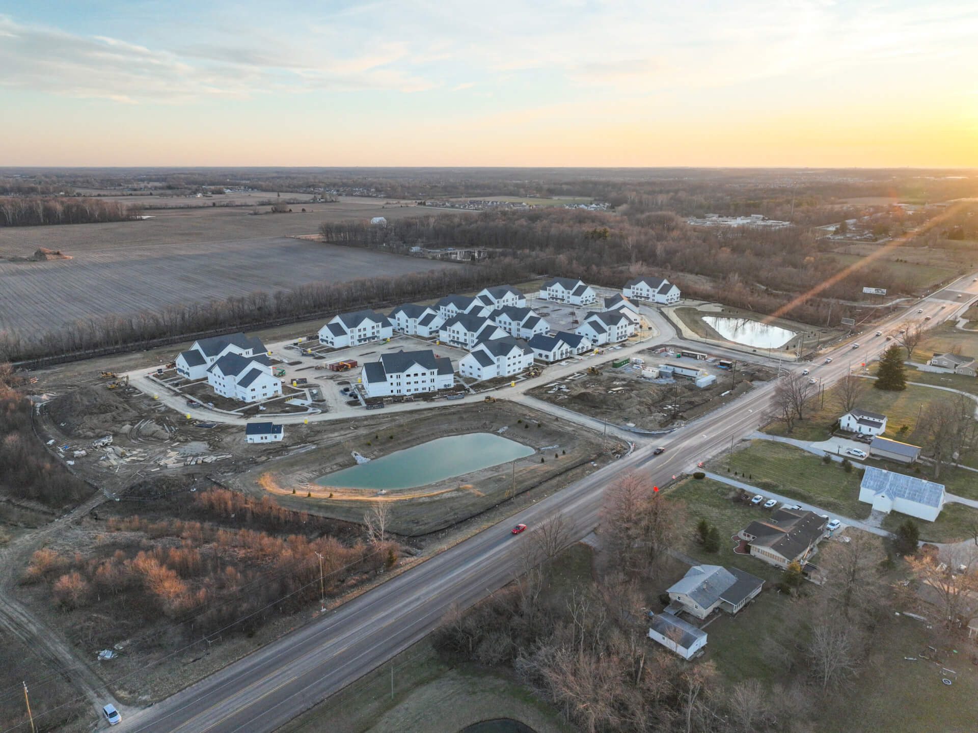
Site Development Uses
Utilizing a Drone, DroneDeploy can map out a flight grid of a construction site with designated capture points. Then, each time we do a Drone fly-over we are creating a visual timeline of the construction site in its entirety. We can observe this in normal 2D with the ability to zoom in or out, rotate the map or see a ground level profile and have the ability to highlight options like plant health, Cut/Fill and site Elevations. We can take it even a step further with 3D with all of those same options. This visual record can then be referenced exactly like the interior 360 Photos.
Inherent Commercial’s use of DroneDeploy is just another notch in our toolbelt to be as efficient at what we do as possible.